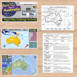
Map Challenge Australia - Fun Geography of Oceania Activities - Print & Digital
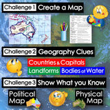
Challenge students to solve clues about Australia’s geography to label and create maps of the continent. The easy-to-follow instructions make these geography activities a fun way to integrate mapping into your curriculum. Say goodbye to bored students simply copying from textbooks to label maps! Everything you need is included!
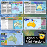
First, students create a map of Australia using only absolute & relative location clues – NO reference maps are needed! Then, they examine various physical and political maps to solve clues about Oceania’s geography. Finally, a drag-and-drop challenge assesses their learning of the countries, landforms, and bodies of water located on the continent.
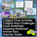
Digital & Printable Resources:
- 3 Digital Clues Activities
- 2 Digital Map Challenges
- Clues Worksheet
- Mapping Worksheet
- Answer Keys
- Teacher Guide
Locations:
- Australia, Papua New Guinea, New Zealand, Indonesia, Vanuatu, Solomon Islands, Tasmania, Sydney, Darwin, Melbourne, Auckland, Canberra, Perth, Brisbane, Pacific Ocean, Tasman Sea, Indian Ocean, Coral Sea, Arafura Sea, Timor Sea, Darling River, Murray River, Great Australian Bight, Gulf of Carpentaria, Bass Strait, Cook Strait, Torres Strait, MacDonnell Ranges, Western Plateau, Kimberley Plateau, Hamersley Range, Darling Range, Great Dividing Range, Great Artesian Basin, Great Sandy Desert, Great Victoria Desert, Simpson Desert, Great Barrier Reef
Microsoft and Google Compatible
Aligned with Social Studies Standards: CCSS, TEKS, ELPS & NCSS
Grades: 5-12
Time: 1 Hour
Pages: 17


