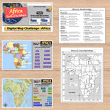
Map Challenge Africa - Fun African Geography Activities - Print & Digital
Challenge students to solve clues about Africa’s geography to label and create maps of the continent. The easy-to-follow instructions make these geography activities a fun way to integrate mapping into your curriculum. Say goodbye to bored students simply copying from textbooks to label maps! Everything you need is included!
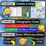
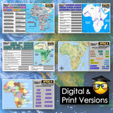
First, students create a map of Africa using only absolute & relative location clues – NO reference maps are needed! Then, they examine various physical and political maps to solve clues about Africa’s geography. Finally, a drag-and-drop challenge assesses their learning of the countries, landforms, and bodies of water located on the continent.
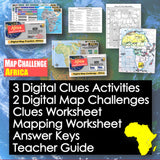
Digital & Printable Resources:
- 3 Digital Clues Activities
- 2 Digital Map Challenges
- Clues Worksheet
- Mapping Worksheet
- Answer Keys
- Teacher Guide
Locations:
- Niger River, Congo River, Nile River, Indian Ocean, Atlantic Ocean, Lake Victoria, Red Sea, Mediterranean Sea, Horn of Africa, Cape of Good Hope, Sahel, Congo Basin, Sahara Desert, Mt. Kilimanjaro, Atlas Mountains, Kalahari Desert, Great Rift Valley, Serengeti Plains, Madagascar, Ethiopian Highlands, Morocco, Senegal, Mali, Nigeria, Egypt, Sudan, Ethiopia, Kenya, Tanzania, South Africa
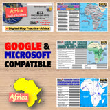
Microsoft and Google Compatible
Aligned with Social Studies Standards: CCSS, TEKS, ELPS & NCSS
Total Pages: 17
Time: 1 Hour
Grades: 5-12


