SW Asia and North Africa Intro to Geography and Maps Lesson - Print & Digital
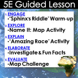
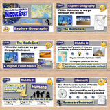
This lesson explores the geography of Southwest Asia and North Africa, also known as the Middle East. The activities are engaging for students, and the guided 5-E format is easy for you to use! Everything you need is included!
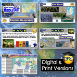
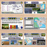
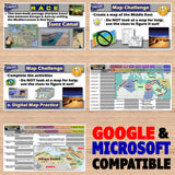
Start with a fun “Sphinx’s Riddle” warm-up, followed by a “Name It” map activity to assess your students’ prior knowledge of the region. Discuss key locations, landforms, and bodies of water in the Middle East. Fill-in notes accompany the lesson. Next, challenge students to examine political and physical maps to complete a “The Amazing Race” activity. Finally, say goodbye to bored students copying and labeling maps from books or screens! A unique “Where Is It? Map Challenge” encourages students to think critically and use absolute and relative location clues to create a map and answer questions.
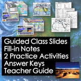
Digital & Printable Resources:
- Guided Class Slides
- Fill-in Notes
- 2 Practice Activities
- Answer Keys
- Teacher Guide
Microsoft and Google Compatible
Locations:
- Egypt, Turkey, Syria, Saudi Arabia, Iran, Iraq, Morocco, Algeria, Libya, Afghanistan, Mediterranean Sea, Red Sea, Caspian Sea, Tigris River, Euphrates River, Persian Gulf. Nile River, Atlas Mountains, Arabian Desert, Sahara Desert, Suez Canal, Arabian Sea, Israel, Mecca, Jerusalem
Aligned with Social Studies Standards: CCSS, TEKS, ELPS & NCSS
Total Pages: 54
Time: 1 Hour
Grades: 5-12


