The West US Map Challenges - Regions of the United States Geography Activities
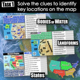
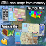
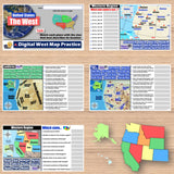
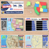
These engaging map activities feature the Western region of the United States. First, students examine physical and political maps of the West to solve clues about US geography. Then, a drag-and-drop challenge assesses their learning of the region’s states, capitals, bodies of water, and landforms. The easy-to-follow instructions make these activities a fun way to integrate mapping into your curriculum. Say goodbye to bored students simply copying from textbooks to label maps! Everything you need is included!
Digital Resources:
- 4 Map Clues Activities
- 4 Map Challenge Activities
- Answer Keys
- Teacher Guide
States:
- Colorado, California, Idaho, Montana, Nevada, Oregon, Utah, Washington, Wyoming, Hawaii, Alaska
Landforms:
- Great Basin, Rocky Mts, Sierra Nevada, Alaskan Range, Cascade Range, Coastal Ranges, Aleutian Islands, Columbia Plateau, Colorado Plateau, Mojave Desert, San Joaquin Valley
Bodies of Water:
- Arctic Ocean, Bering Sea, Gulf of Alaska, Pacific Ocean, Great Salt Lake, Columbia River, Colorado River, Sacramento River, San Joaquin River, Snake River, Missouri River
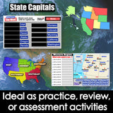
Capital Cities:
- Denver, Colorado, Sacramento, California, Boise, Idaho, Helena, Montana, Carson City, Nevada, Salem, Oregon, Salt Lake City, Utah, Olympia, Washington, Cheyenne, Wyoming, Honolulu, Hawaii, Juneau, Alaska
Microsoft and Google Compatible
Aligned with Social Studies Standards: CCSS, TEKS, ELPS & NCSS
Grades: 4-8
Time: 90 minutes
Pages: 21


