North America Create a Map Worksheet - Where is it? Geography and Location Clues
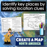
Take map-making to the next level and end the cycle of bored students copying from a book to label maps! Challenge your class to think critically and create a map of North America by solving absolute and relative location clues - NO reference maps needed! Easy-to-follow directions make this a fun way to integrate mapping in your classroom! Everything you need is included!
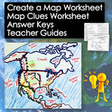
Printable Resources:
- Printable Map Worksheet
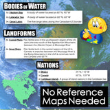
- "Where is it?" Clues Worksheet
- Answer Key
- Teacher Reference Guide
Vocabulary:
- United States, Mexico, Canada, Caribbean, Central America, Greenland, Russia, Alaska, Baja Peninsula, Florida Peninsula, Yucatan Peninsula, Sierra Madre, Rocky Mountains, Appalachian Mts., Coast Mountains, Coastal Plains, Great Plains, Canadian Shield, Sierra Nevada, Great Basin, Pacific Ocean, Arctic Ocean, Atlantic Ocean, Gulf of Mexico, Caribbean Sea, Hudson Bay, Labrador Sea, Great Lakes, Great Salt Lake, Mississippi River, Missouri River, Rio Grande River, Ohio River, Colorado River, St. Lawrence River
Aligned with Social Studies Standards: CCSS, TEKS, ELPS & NCSS
Total Pages: 4
Time: 45 Minutes
Grades: 5-12


