USA Map Challenges - Fun US Geography Activities - Print & Digital
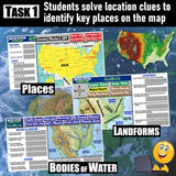
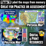
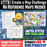
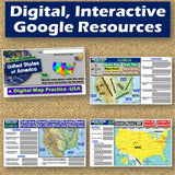
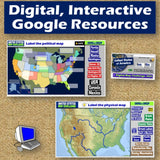
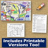
Students will analyze physical and political maps to solve clues about US geography. Then, a United States map challenge will assess their understanding of different locations. This resource also includes a printable worksheet designed to enhance map labeling skills! Students will create a United States map using only absolute and relative location clues—no reference maps needed! The easy-to-follow instructions make these activities a fun way to integrate mapping into your curriculum. Say goodbye to bored students simply copying from textbooks to label maps! Both printable and interactive digital versions of the materials are included, making them suitable for traditional classroom setups and digital 1:1 learning environments. Everything you need is provided!
Includes Google Resources: Digital & Print
-
5 Digital, Interactive Map Activities
-
Printable Map Worksheet
-
"Where is it?" Clues Worksheet
-
Answer Keys
-
Teacher Reference Guide
Locations Covered:
-
Appalachian Mountains
-
Rocky Mountains
-
Sierra Nevada
-
Mississippi River
-
Rio Grande
-
Missouri River
-
Colorado River
-
Great Lakes
-
Pacific Ocean
-
Atlantic Oceans
-
Great Salt Lake
-
Florida Peninsula
-
Great Plains
-
Coastal Plains
-
Washington DC
-
Washington State
-
New York City, NY
-
Hawaii
-
Alaska
-
Los Angeles, CA
-
Denver, CO
-
Mojave Desert
-
Canada
-
Mexico
-
Central Lowlands
Aligned with Social Studies Standards: CCSS, TEKS, ELPS & NCSS
Total Pages: 17
Time: 1 Hour
Grades: 5-12


